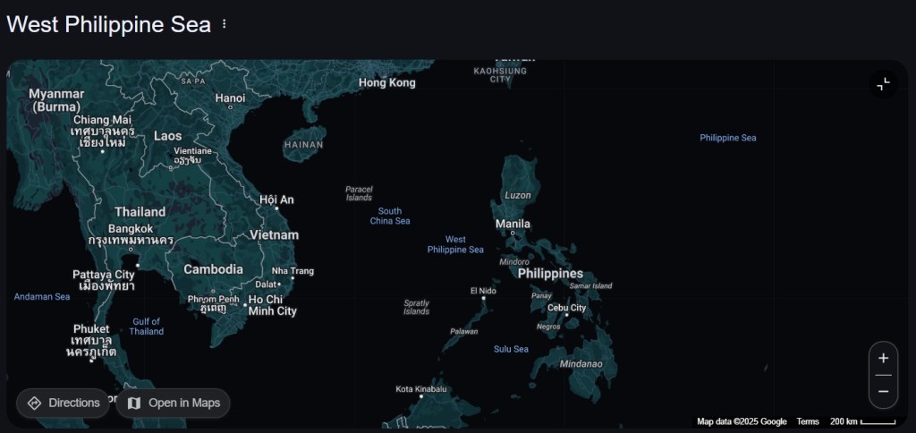
MANILA, Philippines — The Philippine government on Monday hailed the inclusion of the “West Philippine Sea” label on Google Maps not only as a symbolic win but as a strategic reinforcement of the country’s maritime claims and national identity.
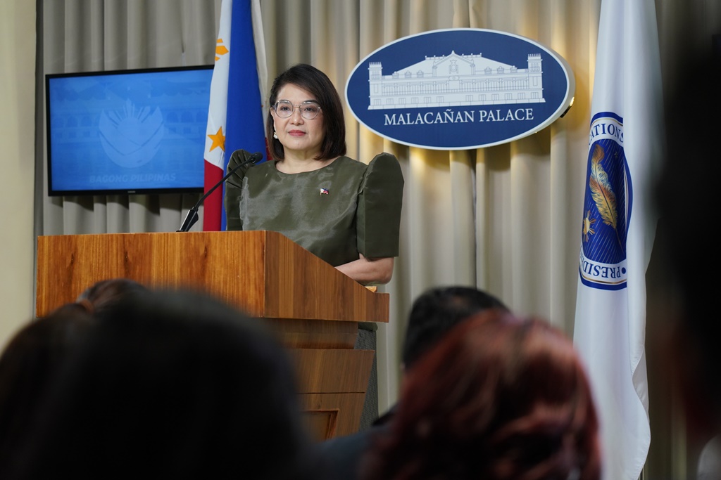
In a Palace briefing, Presidential Communications Undersecretary and Palace Press Briefer Claire Castro said the label’s appearance on the global platform challenges longstanding narratives that dismiss the West Philippine Sea as a mere political construct.
“Masaya nang makilala ang West Philippine Sea kahit na ang iba ay sinasabing gawa-gawa lamang daw ito,” Castro said. “Ito po ay ipinupunyagi natin dahil isa ito sa pagkilala na ang West Philippine Sea ay atin.”
More than a symbolic victory, officials see Google’s update as aligning with international recognition of the Philippines’ maritime entitlements, particularly those affirmed by the 1982 United Nations Convention on the Law of the Sea (UNCLOS) and the 2016 arbitral ruling that invalidated China’s sweeping claims over the South China Sea.
The National Maritime Council (NMC) emphasized the move’s broader geopolitical and legal implications, calling it a “reflection of growing acceptance” of the Philippines’ rights over its waters.
“This acknowledgment affirms our sovereignty, sovereign rights, and jurisdiction over areas in the West Philippine Sea, in line with international law and bolstered by the Philippine Maritime Zones Act,” the NMC said in a statement.
The council added that the update contributes to public awareness—both domestic and global—about the Philippines’ lawful maritime entitlements, particularly within its Exclusive Economic Zone (EEZ). It also reinforces the country’s national prerogative to name and define its maritime zones, a principle enshrined in Republic Act 12064.
The term “West Philippine Sea” was officially adopted in 2012 through an administrative order to assert the country’s claims amid growing tensions with China. While China continues to contest the designation, the label has since gained traction among Filipinos and within regional policy discourse.
For officials and maritime observers, Google Maps’ adoption of the term could encourage other mapping and navigation platforms to follow suit, providing a consistent international reference that supports the Philippines’ position.
The NMC also said the development is an important step toward promoting freedom of navigation and the rule of law in the region—issues that have become increasingly pressing amid China’s assertive activities in contested waters.
“This reinforces our resolve to uphold our maritime rights and the importance of unity in defending our national interest in the West Philippine Sea,” the NMC added.


Leave a comment