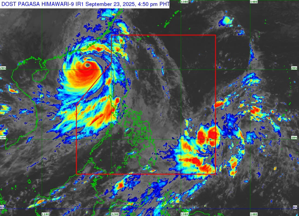
MANILA, Philippines — Tropical Depression Opong entered the Philippine Area of Responsibility (PAR) on Tuesday and is forecast to make landfall over Northern Samar by early Friday, Sept. 26, according to PAGASA.
As of 4 p.m., Opong was spotted 1,045 km east of Northeastern Mindanao. It packs maximum sustained winds of 55 kph, gusts of up to 70 kph, and is moving west-southwest at 10 kph. Strong winds extend up to 360 km from its center.
No wind signal is currently hoisted, but Signal No. 1 may be raised in Eastern Visayas and the Bicol Region as early as Wednesday. PAGASA said Opong could intensify into a severe tropical storm by Thursday.
Heavy rains may start by Thursday, with possible storm surges in low-lying coastal areas of Southern Luzon and Eastern Visayas. Moderate to rough seas are also expected over Eastern Visayas and Northeastern Mindanao, with gale warnings likely by midweek.
On its current path, Opong is projected to cross Northern Samar on Friday before moving across Southern Luzon until Saturday morning. PAGASA advised residents and local officials to prepare for possible flooding, strong winds, and coastal inundation.


Leave a comment