
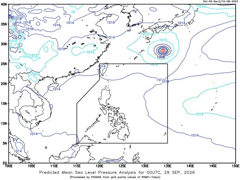
MANILA— The Intertropical Convergence Zone (ITCZ) will bring cloudy skies, scattered rains and thunderstorms over Palawan and several areas in the Visayas and Mindanao on Tuesday, according to the Philippine Atmospheric, Geophysical and Astronomical Services Administration (PAGASA).
PAGASA said Western Visayas, the Negros Island Region, Central Visayas, the Zamboanga Peninsula, Northern Mindanao, Caraga and Palawan will experience cloudy skies with scattered rains and thunderstorms due to the ITCZ.
Moderate to at times heavy rains in these areas could trigger flash floods or landslides, the weather bureau said.
The rest of the Visayas and Mindanao will have partly cloudy to cloudy skies with isolated rainshowers or thunderstorms, also due to the ITCZ. Severe thunderstorms could likewise cause flash floods or landslides.
Metro Manila and the rest of Luzon will experience partly cloudy to cloudy skies with isolated rainshowers or thunderstorms due to localized thunderstorms, with flash floods or landslides possible during severe thunderstorms.
PAGASA forecast light to moderate winds from variable directions over Luzon, with coastal waters expected to be slight to moderate at 0.6 to 1.5 meters.
Visayas and Mindanao will have light to moderate winds coming from the south to southwest, with coastal waters ranging from 0.6 to 1.2 meters.
For Metro Manila, sunrise is at 5:46 a.m. and sunset at 5:47 p.m. Tuesday. The moon is expected to rise at 7:35 p.m. and set at 7:49 a.m., with 90% illumination.
PAGASA recorded a minimum temperature of 26.2°C at 5 a.m. and a maximum of 32.9°C at 2 p.m. Monday. Relative humidity ranged from 55% at 4 p.m. to 91% at 5 a.m.





Leave a comment